Location: 23.081392, 57.350147
Opening hours: Sat – Thu 09:00 – 17:00 | Fri 09:00 – 11:00 & 13:00 – 17:00
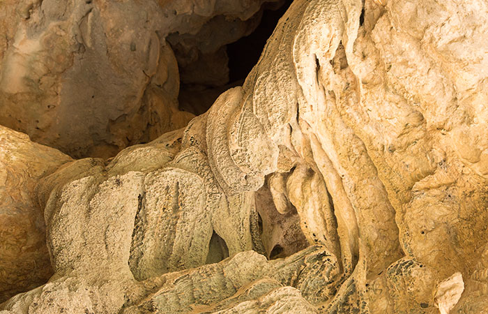
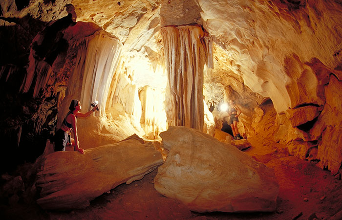
Al Hoota Cave is a cave located in Al-Hamra, North Oman. The cave was opened as a tourist destination in December 2006. The cave is around over 2 million years old, and it is the first and only show cave in Arabia with a total length of around 4.5 km, of which just 500 m is accessible to the general public. The Cave contains a rich ecosystem, including four lakes, in which a rare species of blind fish (Garra Barreimiae – Oman Garra) inhabits. Numerous stalactites, stalagmites and many fancy rock formations can be witnessed during a guided tour in to the cave.
Location: 23.037014, 59.070163
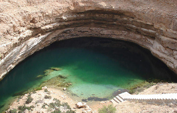
Bimmah Sinkhole is a water-filled depression, structurally a sinkhole, in the limestone of eastern Muscat. To preserve the sinkhole, the local municipality developed a fenced and toilet-equipped park. The sinkhole looks like a small lake of turquoise waters; it is 50 m by 70 m wide and approximately 20 m deep. It is only about 600 m away from the sea. The sinkhole was formed by a collapse of the surface layer due to dissolution of the underlying limestone. However, locals believe this sinkhole in the shape of a water well was created by a meteorite, hence the Arabic name Hawiyyat Najm which means “the deep well of the (falling) star”.
Location: 23.071731, 57.667199
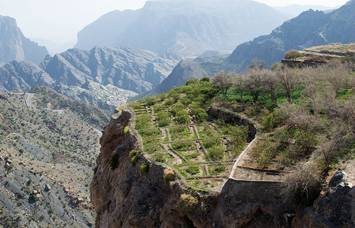
The Jebel Akhdar (“The Green Mountain”), is part of Al Hajar Mountains range in North Oman. It extends about 300 km northwest to southeast. This mostly limestone mountain is one of the highest points in Oman and eastern Arabia. Jebel Akhdar forms the central section of Hajar range, and is located around 150 km from Muscat. Higher altitudes of the mountain receives around 300 mm of annual rainfall, moist enough to allow the growth of shrubs and trees and support agriculture, hence the name “Green Mountains”. The area is known for its traditional rose water extraction and agricultural products including pomegranates, walnuts, apricots, black grapes and peaches. It is also the site of honeybee breeding for much of Oman. It’s a popular area for trekking and hiking.
Location: 17.111584, 54.711073
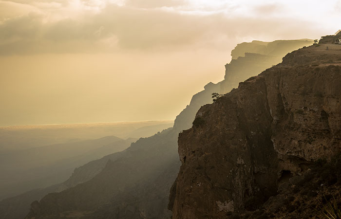
Jebel Samhan is the most famous mountain range of Dhofar, and the highest mountain range in south Oman. Its highest peak is ca. 1700 m. Jebel Samhan has many levels that are traversed by deep and narrow mountain passes, some of which are up to hundreds of meters deep. Jebel Samhan plateau houses many different plant species and many endangered animal species. Due to its natural importance, an area of 4500 km2 has been declared as a nature reserve. Being in the region of the Dhofar Mountains, it is one of the last refuges for wild Arabian leopards. Apart from leopards, caracal, striped hyena and Arabian wolf are sighted here. Arabian gazelle, Nubian ibex, Cape hare, rock hyrax, Indian crested porcupine, desert hedgehog and several bird species also make Jebel Samhan their home.
Location: 23.200124, 57.201292
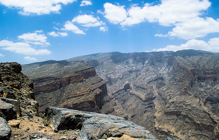
Jebel Shams (“Mountain of Sun”) is a mountain located in northeastern Oman. The mountain is a popular sightseeing area located 240 km (150 mi) from Muscat. It is the highest mountain of the Hajar range and the country, and the third highest in Arabian Peninsula. In the summer, temperature is around 20 °C (68 °F)) and in the winter it drops to less than 0 °C (32 °F). The South Summit of the mountain, which is publicly accessible for trekking via the W4 Trail, marked by the Oman Ministry of Tourism and the elevation of the south summit is 2,997 m (9,833 ft).
Location: 22.881520, 59.105704
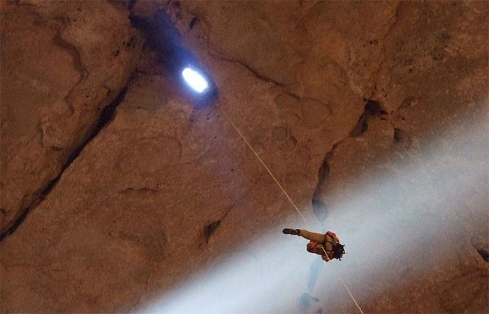
Majlis al Jinn (meeting/gathering place of the Jinn) is one of the largest known cave chambers in the world, as measured by the surface area of the floor. It is a single chamber measuring about 310 m by 225 m, with a domed ceiling 120 m high and three entrances in the roof without any lower exit. The cave is located in a remote area of the Selma Plateau at 1,380 m above sea level in the Sultanate of Oman, 100 km south-east from Muscat. Access to the cavern is only through a free descent of one of three vertical entrances in the ceiling, formed by water seeping through the weakened limestone. Cavers entering Majlis al Jinn require about 200m of specialized rope and equipment to descend and ascend safely.
Location: 17.113754, 54.559257
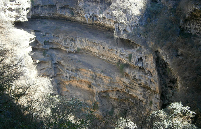
The area around Tawi Attir is particularly rocky and inhospitable. Several wadis of Dhofar Mountains flow into the limestone and have gradually washed out the underground to form a gigantic, widely ramified cave system. At some point, the overlap of one of the cavities collapsed, leaving a steep-walled sinkhole with stalagmites and stalactites. The porous Qara Mountains are crisscrossed by such caves and underground waters. Tawi attir sinkhole is one of the largest of them. There is a viewing platform for the visitors, but the bottom of the 211 m deep sinkhole cannot be seen from there. A species of blind fish lives in it, the closest relative of which lives more than 600 km away in Al Hoota caves. A remarkable number of swallows and other birds buzz around here and nest in the rocky outcrops; hence the name “Well of birds”.
Location: 17.153872, 54.622354
Tayeq cave is another monster Sinkhole, located in the eastern side of Dhofar Mountains. However, this has a completely different look than the collapsed sinkhole of Tawi Attir; it looks more grandiose and less scary. The viewpoint offers spectacular views: an elliptical depression with gigantic dimensions opens up in front of the viewer. The depression measures approximately 1000 m x 750 m and drops several hundred meters deep. Two wadis feed it with water during the raining season. The vastness and loneliness of the almost 1000 m high, barren plateau create a memorable atmosphere. A footpath leads along the edge to a small cave with a platform and a fence (only for those who are not afraid of heights).
